Unitree 4D LiDAR L2 Laser Radar Lidar Sensor – Ultra-Wide FOV 360°×96°, 30m Range, 64,000 pts/s for Robotics & Mapping

Time Left
-
CURRENT PRICE
$2
How max bids work
Enter the most you'd pay. We bid for you, just enough to keep you in the lead, up to your max.
Description
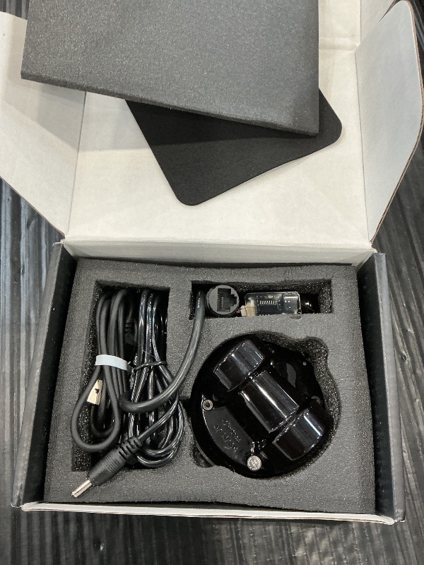
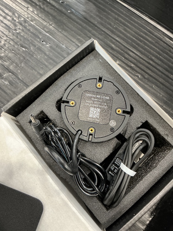
Product Description: The Unitree 4D LiDAR L2 is a high-performance, cost-effective 4D laser radar (3D position + 1D intensity) designed for robotics, smart cities, logistics, and autonomous navigation. Using advanced time-of-flight (ToF) technology, it delivers 64,000 samples per second for real-time environmental perception, mapping, obstacle avoidance, and 3D reconstruction. Technical Specifications: Laser Wavelength:905nm Safety Class:Class 1 (IEC 60825-1:2014) Max Range:30m (@90% reflectivity) / 15m (@10%) FOV:360°×90° (Normal) / 360°×96° (Negative-Angle Mode) Sampling Rate:128,000 pts/s Effective Points:64,000 pts/s Horizontal Scan Rate:5.55Hz Vertical Scan Rate:216Hz Communication:ENET UDP + TTL UART Baud Rate (UART):4,000,000 bps IMU Output:500Hz (6-axis) Operating Voltage:12V DC Dimensions:75×75×65 mm Weight:230g Core Advantages: Full-Space Awareness: 360°×96° ultra-wide FOV eliminates blind spots. Negative-angle mode extends vertical coverage to 96°. Precision Measurement: ±2cm accuracy, 4.5mm resolution, minimal 0.05m blind spot. Robust Performance: 100klux sunlight resistance, stable operation indoors and outdoors. Low Power Consumption: Typical 10W power draw, with intelligent thermal management. Ready to Use: Includes adapter, cables, and mounting accessories for quick deployment. Applications: 🤖 Robot Navigation & SLAM: Reliable localization and path planning for AGVs, AMRs, and service robots. 🏠 Indoor Mapping: Rapid 3D scanning for cleaning robots, security, and space digitization. 🏭 Logistics Automation: Pallet detection, warehouse navigation, and inventory management. 🌲 Outdoor Surveying: Terrain modeling, agriculture monitoring, and infrastructure inspection. 🎓 Research & Education: Ideal for robotics labs, autonomous driving projects, and computer vision development. Package Includes: Unitree 4D LiDAR L2 ×1 Adapter Module ×1 Power Adapter ×1 Data Cable ×1 Rubber Pad ×1 User Manual ×1
Item Details
Seller

Nellis Auction
Pickup Location
6520 Westwind Rd, Ste 100
Las Vegas, NV, 89118
Quality
Auction closes
-Estimated Retail Price
$419.00
Buyers Premium
15%
Inventory Number
1089958003
Found in
Additional Details from the Manufacturer
This item information is coming from the manufacturer. Some of the details may vary from the Nellis Auction listing. Please check the Quality Rating and Notes for information specific to this listing
brand
Dxtvatedimensions
Package: 1.32 lbMore features
- Ultra-Wide 4D Scanning: 360° horizontal × 96° vertical FOV with negative-angle mode for full hemispherical coverage.
- High-Performance Sensing: Up to 30m range (@90% reflectivity), ≤2.0cm accuracy, 64,000 effective points/sec.
- Fast & Precise: 5.55Hz horizontal scan rate, 216Hz vertical scan rate, 4.5mm distance resolution.
- Built-in IMU: Integrated 6-axis inertial module (3-axis accelerometer + 3-axis gyro) at 1kHz sampling rate.
- Dual Interface: Supports ENET UDP and TTL UART communication for flexible integration.
- Compact & Lightweight: Only 230g and 75×75×65mm—ideal for mobile robots.


Getting Started
Learn more about bidding, winning, pickup, and more on our video tutorials page.
Visit Video Tutorials